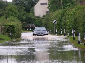
Flooding is primarily a problem in respect of the roads into and out of the village, with Brook Road being the most common problem after a long period of heavy rain.
Information about current and past levels of the River Alne can be seen here. This information is provided by the Environment Agency and is updated dynamically from the automated monitoring station on the River Alne just outside the village, so is a good way of seeing what is happening to the river and whether the water is backing up. This might indicate that Brook Road, Bearley Road or the bridge over the Alne may have local flooding problems. Local flooding is expected when the river level exceeds 1.3 meters and typically, the roads in and out of the village become impassable when the river level exceeds 2.5 meters.

